Water Governance in a Changing Planet: From Global Hydrological Models to Local Decisions

Ann van Griensven
Vrije University Brussels
DOI: 10.25453/fpprize.32065848
Combined impacts of climate and land-use change on future water resources in Africa (Hydrology and Earth System Sciences, 2024)
“We need to better connect our hydrological and climate research from global to local scales.”
Freshwater systems form a fundamental pillar of planetary health, sustaining ecosystems, agriculture, energy production, and drinking water supply for billions of people. Yet these systems face increasing pressure from climate change and land-use transformations—including deforestation, agricultural expansion, and urbanization—which reshape hydrological processes and water availability.
These pressures are particularly visible across Africa. Rivers such as the Nile, Niger, Congo, and Zambezi support food production, fisheries, hydropower, and domestic water supply across multiple countries. At the same time, environmental monitoring across large parts of the continent remains limited. This combination of rapid environmental change and scarce data creates major challenges for water governance.
Our research addresses this challenge through the study of global change impacts on water quantity and water quality, with particular attention to regions where environmental observations remain scarce, including Africa and Latin America. While global environmental research often focuses on broad patterns and generalizations, effective water management requires contextualized analyses that engage directly with local governance systems. Our work, therefore, integrates hydrological modelling, open environmental data, and participatory approaches with local stakeholders in order to translate global scientific insights into locally grounded knowledge that can be co-developed and integrated within freshwater governance processes under conditions of rapid environmental change.
Climate and Land-Use Change Jointly Reshape Africa’s Freshwater Systems
Climate change and land-use transformations interact to shape hydrological processes such as evapotranspiration, runoff, and groundwater recharge. Using the SWAT+ hydrological model, our research evaluates how these combined drivers influence water availability across major African river basins.
Model results reveal strong interactions between climate and land-use change. In the Congo Basin, projected deforestation modifies evapotranspiration and regional water balance, while agricultural expansion in other regions reduces water availability. In basins such as the Senegal and Orange rivers, these combined pressures intensify water stress and alter runoff patterns, highlighting the role of land management decisions in shaping future hydrological conditions. These findings demonstrate that future water availability cannot be understood through climate projections alone. Decisions regarding land management, ecosystem conservation, and agricultural expansion play a decisive role in determining hydrological outcomes and water security.
Open Hydrological Data Expands the Societal Impact of Water Research
Scientific understanding of environmental change must be translated into tools that support real-world water governance. An important contribution of this research concerns the development of open hydrological modelling tools and datasets. Our SWAT+ model simulations exist as open-access datasets which enable use across scientific disciplines and policy analyses. These data have supported research published in Nature Sustainability examining renewable electricity portfolios in West Africa and work in Nature Energy analyzing interactions between renewable energy development and the operation of the Grand Ethiopian Renaissance Dam.
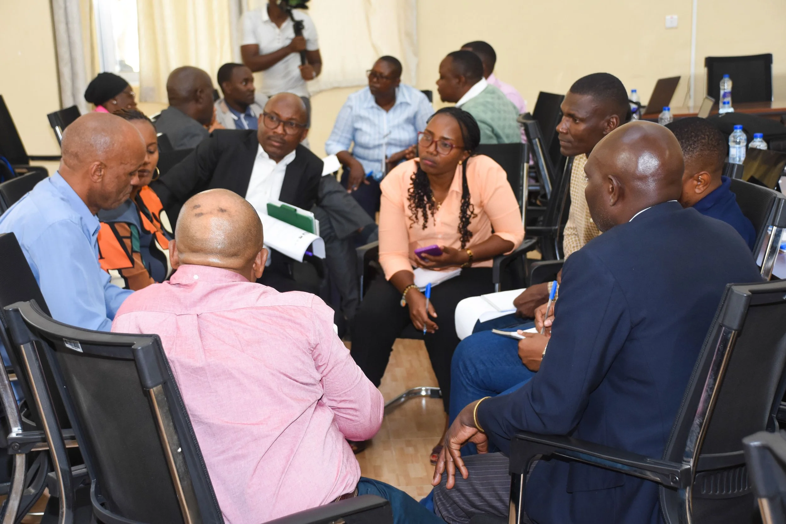
Figure 1. Participatory implementation of CRIDA in Tanzania, combining hydroclimatic modelling with stakeholder engagement to co-identify vulnerabilities and adaptation strategies. Image taken in Iringa, Tanzania, January 2026.
Open environmental data also helps connect water research with broader sustainability challenges, including energy planning, climate adaptation, and regional development. However, effective water management requires more than modelling results. Decision processes benefit from collaboration between scientists, policymakers, and communities.
Translating Hydrological Science into Decision-Relevant Knowledge
Our research, therefore, integrates hydrological modelling within the Climate Risk Informed Decision Analysis (CRIDA) framework. CRIDA represents a participatory decision framework designed for water management under conditions of deep uncertainty. The process brings together scientific and non-scientific actors to identify vulnerabilities within existing water systems rather than relying exclusively on climate projections.
Hydro-climatic simulations then support evaluation of system responses to multiple stressors. Participation from local governments, universities, non-governmental organisations, and community representatives enables identification of potential interventions. These interventions may include water management strategies, infrastructure planning, or nature-based solutions that enhance ecosystem resilience while improving water security.
Applications of this framework occurred during CRIDA workshops organised for the Great Ruaha Basin in Tanzania in 2026, in collaboration with Sokoine University of Agriculture and UNESCO, and for the Katari River Basin in Bolivia in 2025, in collaboration with Universidad Católica Boliviana San Pablo and the Ministry of Water and Environment. These initiatives illustrate how hydrological modelling can support concrete planning processes at the basin scale.
Our research integrates hydrological modelling with citizen science and participatory monitoring. For example, in the Yala basin in Kenya, a tributary of Lake Victoria, climate scenario simulations derived from SWAT+ modelling complement citizen science monitoring of water quality. Participatory mapping exercises further identify nature-based solutions capable of reducing pollution pressures and restoring ecosystem services.
These approaches strengthen dialogue among scientists, communities, and authorities and support the integration of scientific evidence into locally relevant decision processes.
Integrated Hydrological Modelling Reveals System Limits Across the Water–Food–Energy Nexus
This research advances planetary boundary science through the development and application of integrated hydrological modelling approaches, particularly the SWAT+ model. These models simulate interactions among hydrology, land use, nutrient cycles, and water management, enabling the assessment of pressures on freshwater systems under climate and land-system change.
The modelling framework represents processes such as crop growth, nutrient transport, reservoir operations, and watershed hydrology. This integration allows the analysis of trade-offs across the water–food–energy–health–biodiversity nexus and supports the estimation of system limits and future potentials for key services, including agricultural production, drinking water supply, hydropower generation, fisheries productivity, and ecosystem functioning.
The research also contributes to understanding pressures related to the planetary boundary of biogeochemical flows. Continental assessments indicate that approximately one-third of African rivers exceed nutrient thresholds, illustrating how disruptions in nitrogen and phosphorus cycles affect freshwater ecosystems and aquatic biodiversity.
Linking Earth system diagnostics with governance processes remains essential for maintaining planetary stability. Integration of hydrological modelling, open environmental data, and participatory decision frameworks helps translate Earth system knowledge into actionable strategies for sustainable water, food, and energy management.
Closing the Global Water Quality Data Gap Is Essential for Effective Water Governance
Water scarcity often occurs together with declining water quality. Our recent continental-scale study indicates that approximately one-third of African rivers fail to meet “good ambient water quality” nutrient targets of SDG6.
Water pollution hotspots often occur in regions where wastewater infrastructure, environmental regulation, and participatory governance remain limited. Addressing these challenges requires both scientific evidence and stronger engagement with communities and local institutions.
Despite growing awareness of freshwater challenges, major gaps remain in water quality monitoring, particularly across Africa, where systematic observations of rivers and lakes remain limited. This lack of data constrains the ability of governments, communities, and researchers to detect environmental change, identify pollution sources, and evaluate the effectiveness of water management interventions.
Research conducted under the AXA Research Chair on Water Quality and Global Change seeks to address this challenge through the integration of satellite observations, hydrological modelling, and community-based monitoring networks. Combining these approaches can generate new forms of environmental evidence that remain accessible to both scientists and local governance actors.
Closing the global water quality data gap is therefore not only a scientific priority but also a prerequisite for protecting human health and ecosystem integrity. Polluted water continues to pose major risks to public health, while freshwater ecosystem degradation threatens biodiversity and livelihoods.
Safeguarding freshwater systems ultimately represents a critical step toward maintaining the Earth’s safe operating space. Strengthening environmental monitoring and integrating scientific knowledge into governance processes can support more resilient freshwater systems in a rapidly changing world.